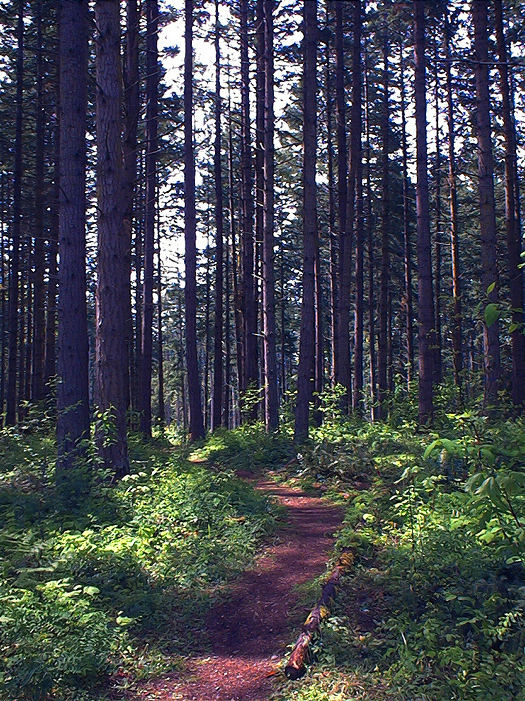
 From the alpine roads, to trails through old growth forests, the Nisqually Watershed offers road biking and mountain biking adventures! While the upper portions of the watershed receive snow during parts of the year, the lower watershed remains snow free year round. Since the weather can change quickly, be sure to check trail conditions before going!
Below are lists of trails to bike on. The lengths given are round-trip distances in miles, and elevation gains are in feet. Enjoy!
Mount Rainier National Park
Explore Information
Mount Rainier National Park offers opportunities for mountain and road bikers alike. While many of the main roads and dirt side roads are open to bicycles, please be aware that all trails are closed to bikes. In addition, roads can close at any time, so check with the park before heading out!
- Mountain Biking
Trail Name Length Elevation Gain Fees Westside Road 19 2000 Yes **The first 3 miles of the gravel road are open to vehicles and leads to a small parking lot. The remainder of the road is closed to vehicles. Longmire Volunteer Campground varies varies Yes **This dirt road leads to more forest service roads, so the lengths and difficulty can vary!
- Road Biking
Trail Name Length Elevation Gain Fees Nisqually Entrance to Paradise 38 3400 Yes **The paved road between the Nisqually Entrance and Paradise is a shared road. It has a narrow, unpaved shoulder, so be wary of vehicles
Gifford Pinchot National Forest
Explore Information
The portion of Gifford Pinchot National Forest that lies in the Nisqually Watershed has plenty of mountain biking trails to enjoy. Please be aware that these trails are usually steep and receive relatively minimal maintenance, so sometimes trail finding can be necessary. The trails are all free to use, unless you park in the Osborne Mountain Campground parking lot. Pets are welcome, and all the trails are open to multiple uses, including hiking, horseback riding and motorcycles.
- Mountain Biking
Trail Name Length Elevation gain Allen Mt Trail #269 8 950 **Open to multiple uses; lightly used Osborne Mt Trail #253 11 3193 **Very steep and open to multiple uses Teeley Creek Trail #251 8.6 860 **Open to multiple uses; lightly used Greenwood Lake Trail #253 6 750 **Open to multiple uses; may be minimally maintained Cave Creek Trail #255 1 160 **Open to multiple uses Silver Creek Trail #258 9 1200 **Open to multiple uses Big Creek Trail #252 4.8 1240 **Open to multiple uses
Ashford/Elbe Area
Explore Information
Near the towns of Ashford and Elbe, there are many mountain biking trails that you can enjoy. These areas include the Mount Tahoma Trails Association‘s trail network and the Elbe Hills State Forest. MTTA’s trails are steep and not recommended for beginners. In the state forest, trails range in difficulty.
- Mountain Biking
Trail Name Length Elevation Gain Fees Mt. Tahoma Trails Network 20 total Varies No **The huts along the trails are open for day use, but require a reservation for overnight stays Elbe Hills Trails Network N/A N/A Yes **These trails are viewed as a network, so individual lengths are not available. A Discover Pass is required, and the state forest allows front-country, backcountry or dispersed camping.
Pack Forest
Explore Information
Pack Forest is an experimental forest managed by the University of Washington. It is open to the public free of charge and has a few trails that are open to mountain bikes. The forest features old growth trees, stunning waterfalls and miles of trails to explore. Currently, individual trail information is not available, but maps of the trail network is available at Pack Forest itself.
Lower Watershed
Explore Information
The lower watershed generally remains snow-free year round, so you can bike 12 months out of the year! The areas that allow biking in the lower watershed are Joint Base Lewis-McChord (with limitations), Weyerhaeuser’s Vail Tree Farm (with a permit) and a Thurston County path.
- Mountain Biking
Trail Name Length Elevation Gain JBLM N/A N/A **Civilian access to JBLM requires prior permission. Once approved, there are mountain biking opportunities. Vail Tree Farm N/A N/A **Weyerhaeuser requires the purchase of a permit before accessing. These permits are sold on a limited annual basis and go quickly! - Road Biking
Trail Name Length Elevation Gain Yelm-Tenino Trail 29 N/A **This paved trail connects the towns of Yelm, Rainier and Tenino. The Yelm trailhead is behind City Hall.