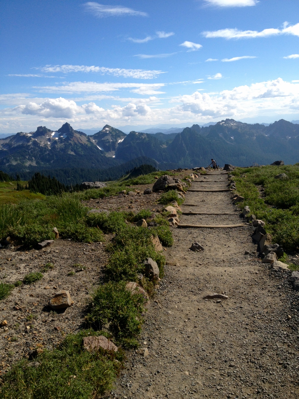
 The Nisqually Watershed offers hikes high above treeline, through dense old growth forests and along the delta on Puget Sound. This offers the unique chance to explore the course of a river from its headwaters to it mouth. Since portions of the watershed remain snow-free year round, you can hike here whenever you’d like! If you do want to play in the snow, make sure to check out our snow sports page, too.
Below are lists of hiking trails throughout the watershed. Trail lengths are round-trip in miles and elevation gain (if available) is in feet. Please notice that some hikes and areas require prior permission to access, and that pets are not always welcome. Enjoy, and don’t forget to pack water!
Mount Rainier
Explore Information
| Trail Name | Length | Elevation gain |
| Wonderland Trail | 93 | n/a |
| **Permit required to hike entire trail | ||
| Lake George | 9.8 | 390 |
| **Popular family hike | ||
| Gobbler’s Knob via Lake George | 12.8 | 1585 |
| **The last few miles from the lake are STEEP. | ||
| Kautz Creek Trail | 10 | 3138 |
| Indian Henry’s Hunting Grounds via Kautz Creek | 11.5 | 3000 |
| Indian Henry’s Hunting Grounds via Longmire | 13 | 2400 |
| **The bridge crossing is often washed out; double check beforehand | ||
| Eagle Peak Trail | 7.2 | 2955 |
| Rampart Ridge Trail | 4.6 | 1339 |
| Trail of the Shadows | 0.5 | 0 |
| Nisqually Vista Trail | 1.2 | 400 |
| **Views of the Nisqually Glacier-the start of the whole watershed! | ||
| Comet Falls Trail | 3.8 | 900 |
| **At 320 feet, the falls is one of the largest in the park | ||
| Van Trump Park via Comet Falls | 5.8 | 2000 |
| Pinnacle Peak Trail | 2.5 | 1050 |
| **Requires rock scrambling and walking through snow year round. | ||
| Skyline Trail | 5.5 | 1700 |
Gifford Pinchot National Forest
Explore Information
| Trail Name | Length | Elevation gain |
| Allen Mt Trail #269 | 8 | 950 |
| **Open to multiple uses | ||
| Osborne Mt Trail #253 | 11 | 3193 |
| **Open to multiple uses | ||
| Teeley Creek Trail #251 | 8.6 | 860 |
| **Open to multiple uses | ||
| Greenwood Lake Trail #253 | 6 | 750 |
| **Open to multiple uses | ||
| Cave Creek Trail #255 | 1 | 160 |
| **Open to multiple uses | ||
| Silver Creek Trail #258 | 9 | 1200 |
| **Open to multiple uses | ||
| High Rock Lookout Trail #266 | 3.2 | 1365 |
| **No motorized use allowed! This trail is very popular in summer. | ||
| Big Creek Trail #252 | 4.8 | 1240 |
| **Open to multiple uses | ||
| †Lake Christine Trail # 249 | 3.6 | 640 |
| **A free wilderness permit is required & available at trailhead. | ||
| †Peak Two Trail #268 | 2.6 | 440 |
| **A free wilderness permit is required & available at trailhead. | ||
†Trail is within the Glacier View Wilderness Area
The Ashford/Elbe region
Explore Information
| Trail Name | Length | Elevation gain | ADA | Pets | Fees |
| Mt Tahoma Trails | 20 total | Varies | No | Yes | No |
| **Reservations are reserved for overnight hut stays | |||||
| Elbe Hills Trails Network | 30 total | Varies | Yes (one) | Yes | Yes |
| **These trails are viewed as the destination, not as individual entities, so individual lengths are not available. | |||||
Pack Forest Lower Watershed
Explore Information
Explore Information
Trail Name
Length
Elevation gain
ADA
Pets
Fees
Yelm-Tenino Trail
28
n/a
Yes
Yes
No
**Trailhead is near Yelm City Hall. The trail connects the communities of Yelm, Rainier and Tenino, and is a paved trail.
JBLM Access
n/a
n/a
n/a
n/a
No
**Prior written permission is required for civilian hiking access on JBLM property.
Vail Tree Farm
n/a
n/a
n/a
Yes
Yes
**Weyerhaeuser Timber allows access to their land only with the prior purchase of a permit. These sell out fast! Dogs cannot be used to hunt or track game.
Nisqually National Wildlife Refuge
5
0
Yes
No
Yes
**The trails on NNWR offer wildlife viewing opportunities and a chance to see where the river ends. The trails are mostly on boardwalks.