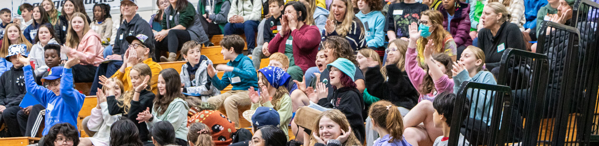
The Nisqually River Council’s mission is to create sustainability in the Nisqually Watershed for current and future generations by developing a common culture of environmental, social, and economic balance.
The Nisqually Watershed encompasses all lands which drain to the Nisqually River, part of the Salish Sea and Puget Sound basins of Western Washington. The watershed has been inhabited and stewarded by the Nisqually Tribe since time immemorial, and today includes the communities of Ashford, Elbe, Mineral, Eatonville, McKenna, Roy, Yelm, Joint Base Lewis-McChord, the Nisqually Indian Reservation, and portions of Graham, Lacey, DuPont, and Rainier.
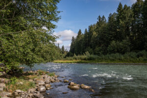
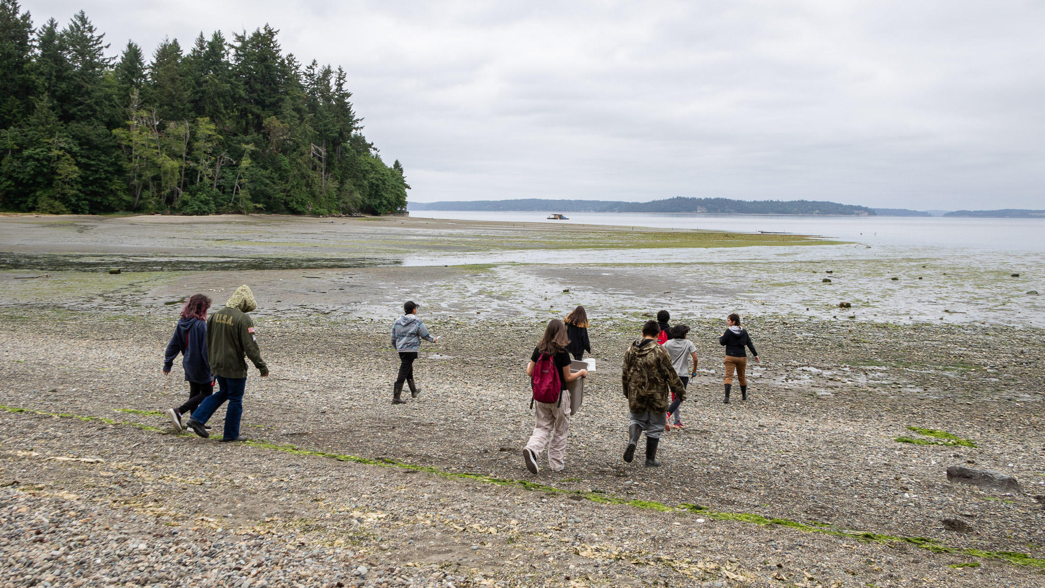
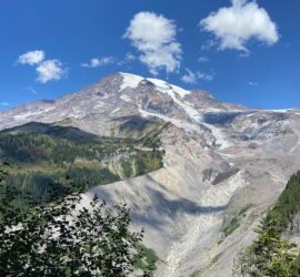
Flowing 78 miles from its source at the Nisqually Glacier on Mount Rainier to its delta at the Billy Frank Jr. Nisqually National Wildlife Refuge, the Nisqually River links the summit snows of Washington’s highest peak and the marine waters of Puget Sound. Chinook, steelhead, chum, coho, and pink salmon begin and end their lives in the river and its tributaries, nourishing people, wildlife, and the landscape. The watershed’s prairies, forests, and wetlands support an amazing diversity of life and scenic beauty, a land of wind and wildlife, glaciers and storms, towering firs and diminutive banana slugs.
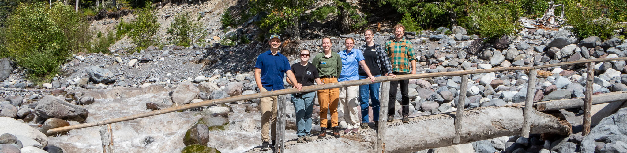
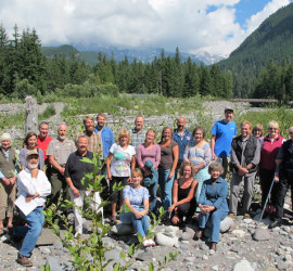
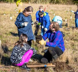
It is also deeply affected by human decisions and activities. Although the Nisqually is one of the healthiest and least developed rivers in southern Puget Sound, it faces many challenges, threats, and opportunities, and an uncertain future. Since 1987, the Nisqually River Council has been leading the way in inclusive, collaborative conservation with community input from across our watershed: protecting and restoring salmon and habitat, investing in healthy and prosperous communities, and celebrating our diverse natural and cultural heritage.
We are working to protect and enhance this special region, and we invite you to join us!